GAMES AND SPORTS AT LAKE MÖHNESEE
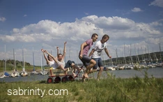
Starting out from the parking lot of the Seepark in Körbecke, you come to a 627-meter-long stone pedestrian bridge across the Möhnesee, the longest of its kind in Europe. The route continues through the forest on the lake’s southern shore and leads to the Möhneseeturm, a lookout tower. While the gradients of this 1.5 km-long trail are suitable also for young children, strollers should be of the all-terrain type.
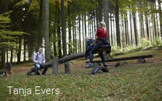
A small detour for those in the know leads to two additional attractions for the kids: A water-treading basin where young and old can cool their feet, as well as the Waldspielplatz playground in the midst of the forest. If you continue on to the Möhneseeturm, you will find the view more than worth the effort. Take a moment to enjoy the wonderful vista stretching from the Arnsberger Wald nature park across the Westphalian Sea and all the way to the Haarstrang Ridge.
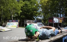
At the Seepark playground children of all ages will find attractive play options, such as a skating park and a number of multi-purpose playing fields. Take the adventure golf course, where players have to hit the golf balls over courses of water, around trees, and over long distances. Slightly hidden behind some trees is an adventure playground whose climbing walls and rope slide are sure to delight the little ones.
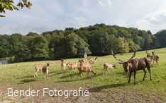
There are also various restaurants to choose from when the stomach starts growling. After enjoying your meal, get back into your car and drive to the Wildpark wildlife park in Völlinghausen, just a few minutes away. Here red deer, fallow deer, sika deer as well as sheep, goats, pheasants, and cagebirds can be seen up close. And feeding the animals is not only permitted but encouraged!
If you still have energy to spare, visit the nearby minigolf course and show off your putting skills. Or finish off the day with a cozy round of coffee, cake, soda pop, and waffles.


